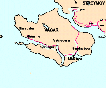
Anyway, i hit the road and started with lake Sørvágsvatn (good luck with pronouncing it!). I came prepared with some hard-copy hiking trails which you can get here. I'm mentioning this since from the explanations the lady gave me at the B&B I'm not sure I would reach the place.
Tip: Before the trip I did some research about navigation applications which can work offline. The thing is I didn't find any which had the Faroe islands on them! So I suggest to download the area from Google maps, this way they are available offline
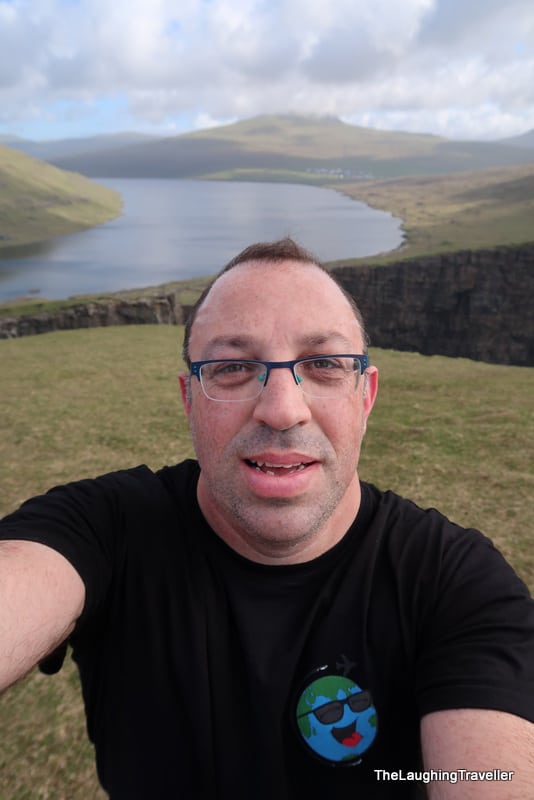
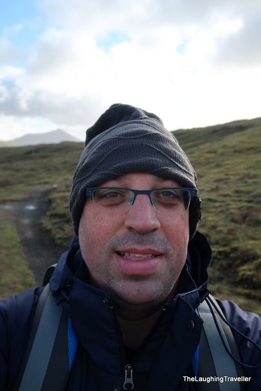
I parked the car near the trail head and before I noticed anything I see a herd of sheep running towards me! 2 seconds pass and I notice they are fenced so I'm like phewwww. Even though it was nice outside, the wind was blowing so I put on the wind jacket which hid the "premiere" of my blog shirt, but don't worry, you'll see it  .
.
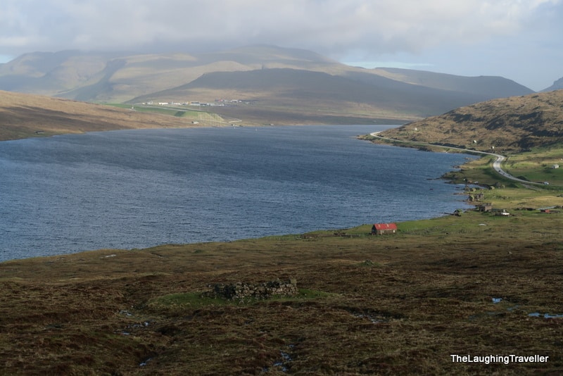
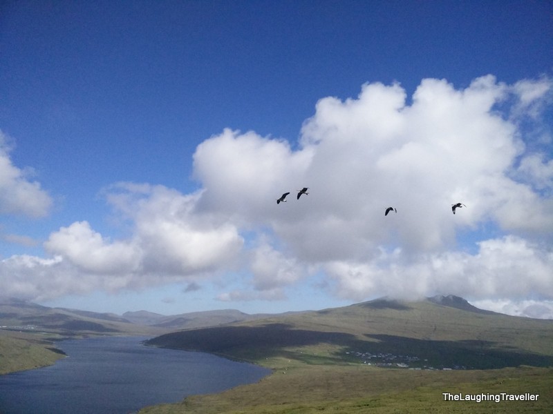
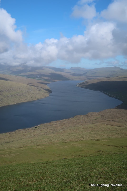
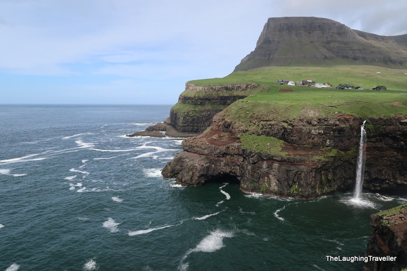
The trail was exactly the way I like it – flat, solid ground, beautiful scenery from both sides that includes treeless mountains and a lake, not just any lake, the biggest in the Faroes(!). There's some mud which over time gets stuck to your boots, but nothing too serious.
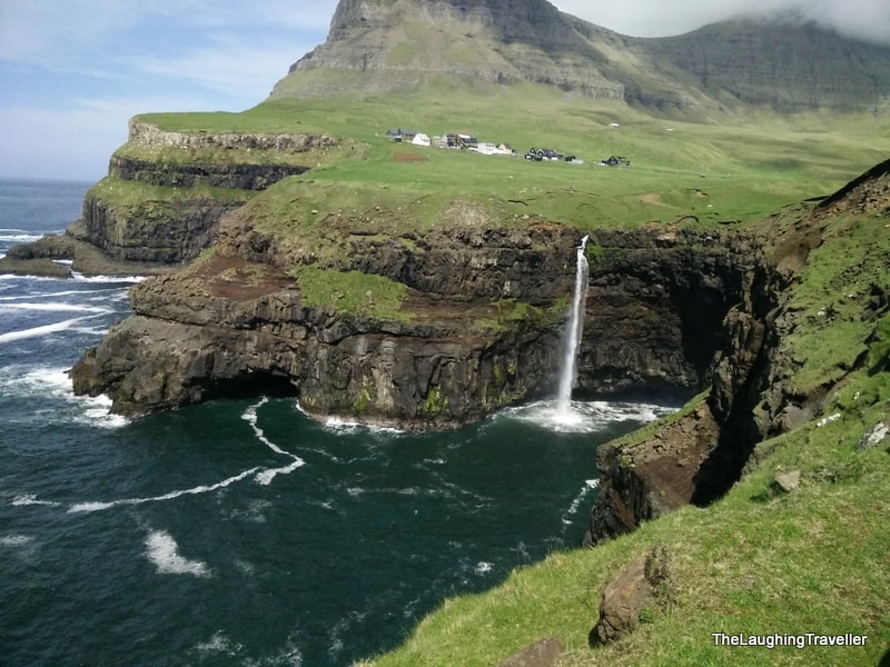
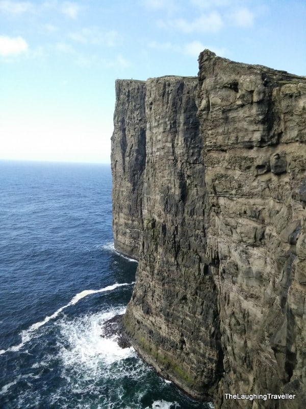
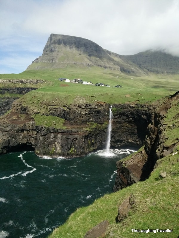
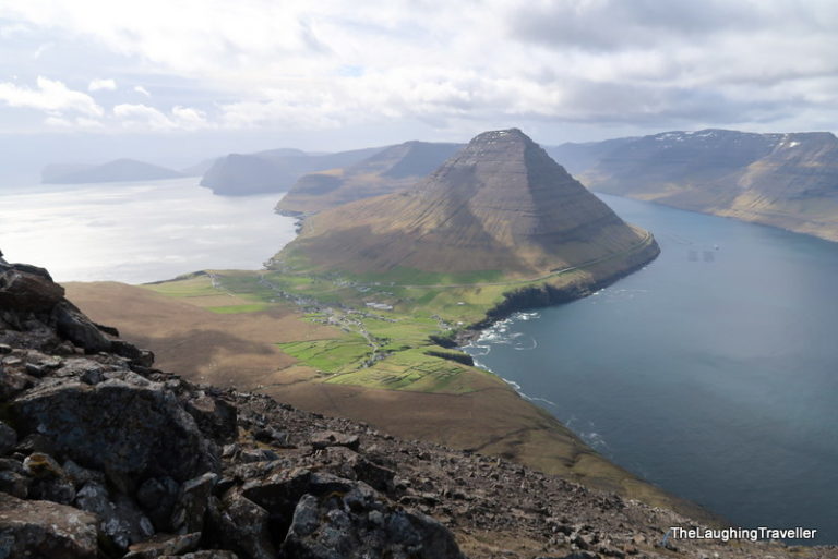
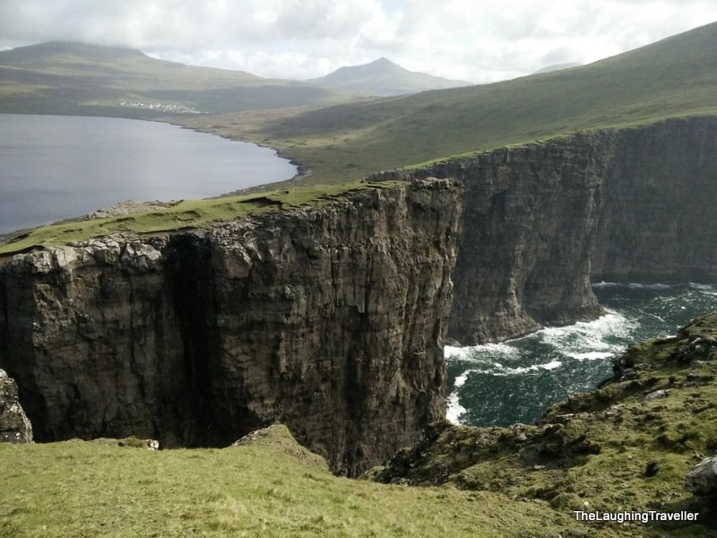
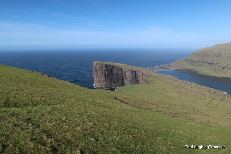
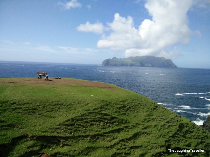
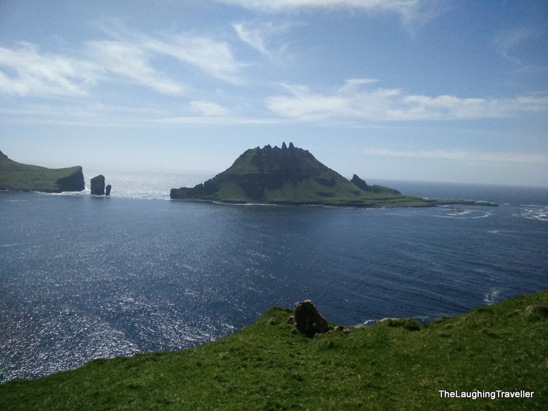
Suddenly, I noticed to my left a downwards viewing point. It's hard to explain but I saw the end of the cliff and from there you can look down and see the ocean. I went to the spot and then noticed a higher spot. That's when I said to myself "I want to be there!" and if you look real tight you'll see people in that picture below.
Optical illusion
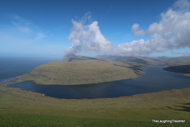
. It's just pure nature!Off topic for a moment… Take a look at their alphabet, mostly with familiar letters but also some strange Nordic additions. The thing is that even the letters we know are not always pronounced the way we're used to. Specifically in Vagar, the names are relatively easy but… so I tried to record a local saying some of the places .
 .
.
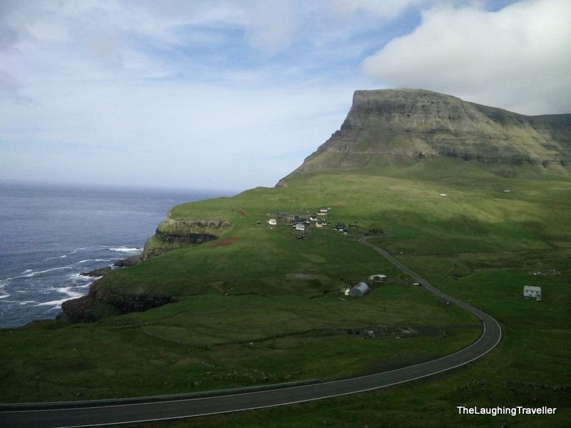
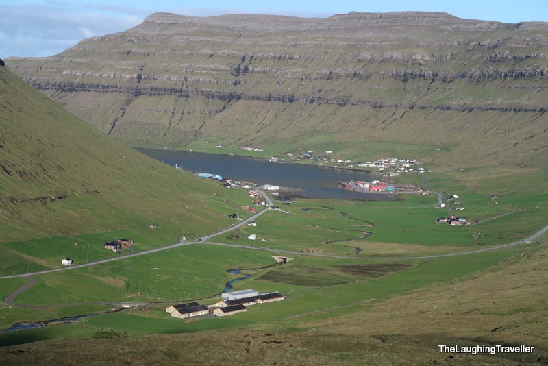
This is where the nature part of the day ends and now I drove 40 minutes to the capital city, Torshavn. Keep in mind that every drive here is pretty amazing – all the time hills covered in green, from time to time a small waterfall in the cracks but you can't stop admiring it, obviously not on your first day (that didn't change later ).
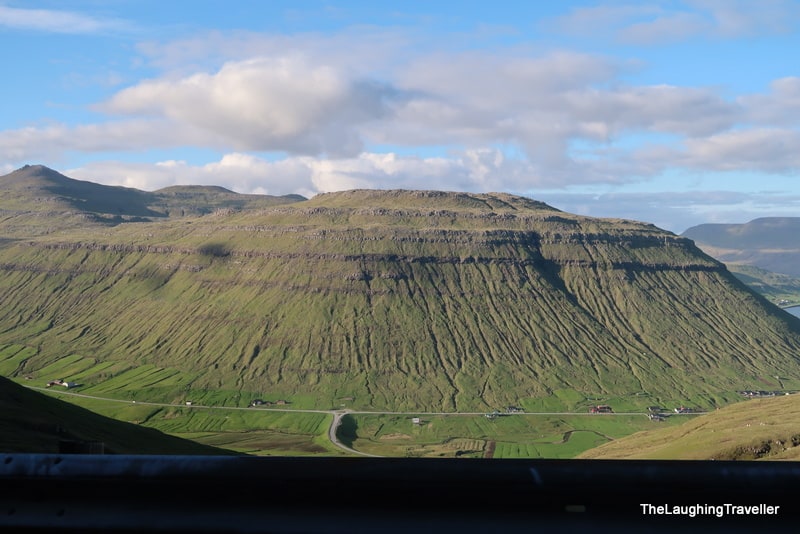
But let's stop for a minute and talk about the roads – there are standard roads and there are buttercup roads which are breathtaking!
Whenever I had the possibility of stopping and taking some photos, that's what I did. Today I had 2 segments of such roads – from Bour to Gasadalur and the way to Torshavn starting on the island of Streymoy.
During the rest of my trip I made sure to drive all these roads!
Torshavn is a real city with traffic lights (2-3 don't push it) and everything – there's a mall with Burger King(!), a national stadium, etc. I went to SMS mall, the only mall in the Faroe islands, to get a local SIM card.
Tip: From what I understood this is the only place to get a SIM card.
During the writing of this post I looked for evidence that this is the smallest capital in Europe. I couldn't find that but there was something else that got my attentions:
"The Faroe Islands are the country that most people did not know existed. And it is not strange that people do not know about the Faroe Islands. On most world maps they are not even there. And if they are, they are marked by two or three small dots hardly visible to the naked eye. This also means that it can be difficult for tourists – who are looking for a new destination – to imagine the versatility of what is on offer in the Faroe Islands."
I added the bold emphasize because this is so true! I have a scratch map in my room and the Faroes aren't there  .
.
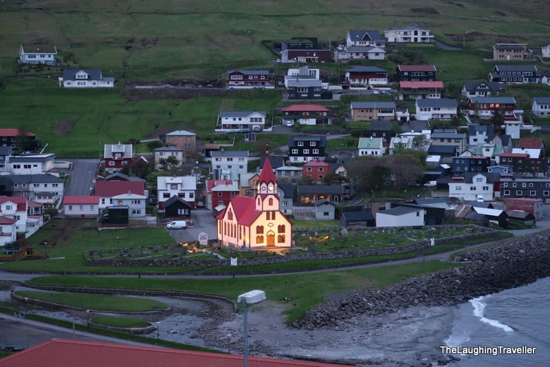
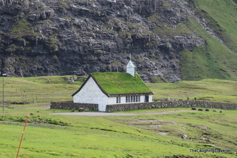
I returned to "my" town and found out I didn't bring the right USB cable to charge my gopro . This was so frustrating as this was the first trip where I used a gopro. But I got to a conclusion bing upset won't solve the problem, just move on. The Finnish couple had a matching cable so I used it overnight. We exchanged some experiences from the day and before I went to sleep I saw the church with its lights turned on.
** This picture was shot after midnight!